
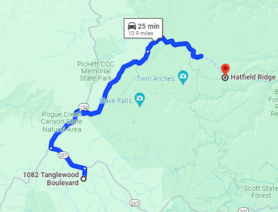
A short drive out of Tanglewood to (gravel) Divide Road into the park and make your way up to Hatfield Ridge. The ridge down is a Jeep road. I was out in July and cut the loop short up the horse trail to Charit Creek Lodge. The animated trail video below is the route I took.
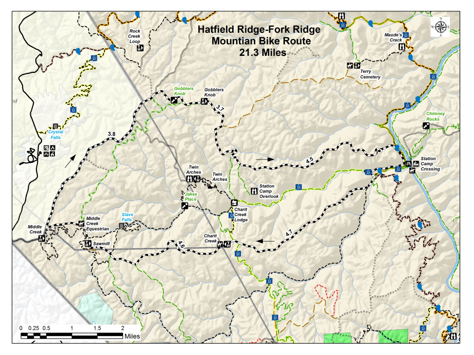
The animation shows the ridge trail downhill to the Big South Fork River and steady or steep uphill back. There aren’t many folks out mid-summer, so I didn’t encounter any horses or hikers when I cut the loop short. See the entire 21-mile loop map below.
Getting to the trail from Tanglewood
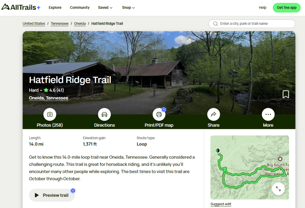
All Trails map and Information
Here’s an animation of the path I took
The Full Loop
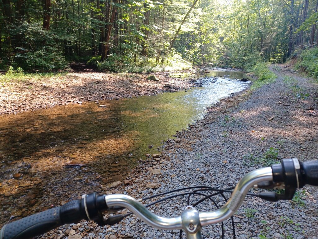
Heading back up Charit Creek
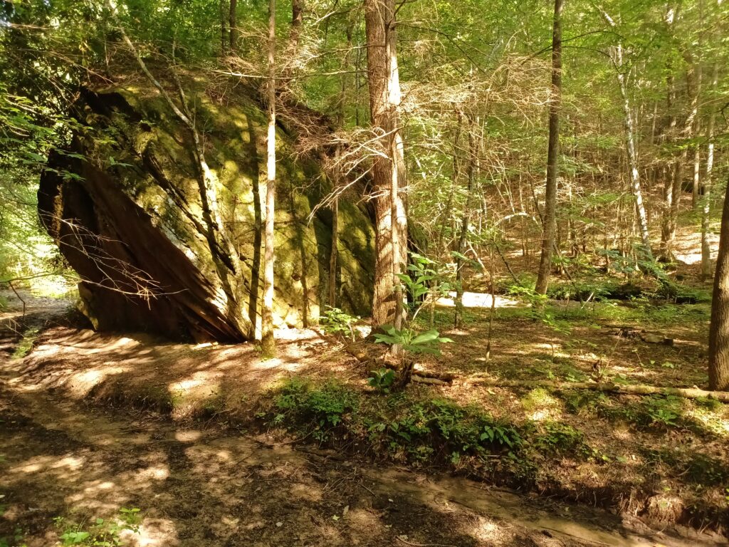
Along the trail
Sites along Charit Creek, towards the lodge
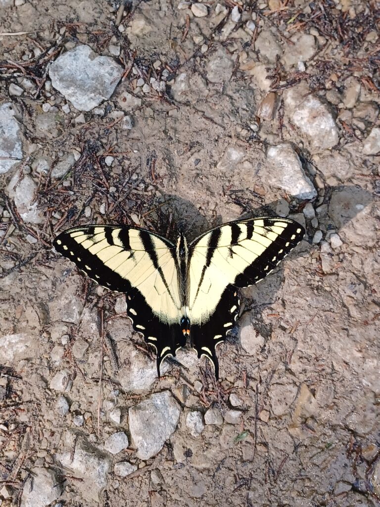
July moth on the trail
Coasting in to the Charit Creek Lodge
I was on the horse trail here, but again, it was late July, and there was nobody around. Spring or fall stick to the advertised main bike loop.